How Google Earth is helping drive climate action
5-minute read
Billions of people use Google Earth to explore our planet from endless vantage points. Created from 24 million satellite photos taken over the course of 37 years, Timelapse in Google Earth reveals the cumulative effects of human activity and its impact on our planet.
“Timelapse allows us to see our planet in an entirely new dimension — and time. Now anyone can witness nearly four decades of planetary change.”
Rebecca Moore, Director, Google Earth
Learn how Timelapse is being used in partnership with other technologies and programs to empower everyone to take climate action across our planet’s cities, oceans, and forests.

CITIES
Reducing emissions and working toward cleaner air
Google Earth Timelapse (Google, Landsat, Copernicus)
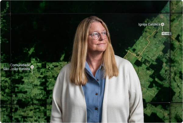
“Tracking air quality could help identify how to reduce pollution most effectively — like creating low emission zones or keeping heavy trucks out of neighborhoods that are most vulnerable.”
Karin Tuxen-Bettman, Program Manager, Google Earth Outreach
Urban populations have grown exponentially over the last 35 years, and are continuing to grow — along with global CO2 emissions. In an effort to help people and local governments understand the impacts of emissions in their cities, we built the Environmental Insights Explorer (EIE), a tool that provides emissions estimates and reduction opportunities for thousands of cities around the world — helping set the foundation for effective climate action. Learn more about some of EIE’s efforts below.
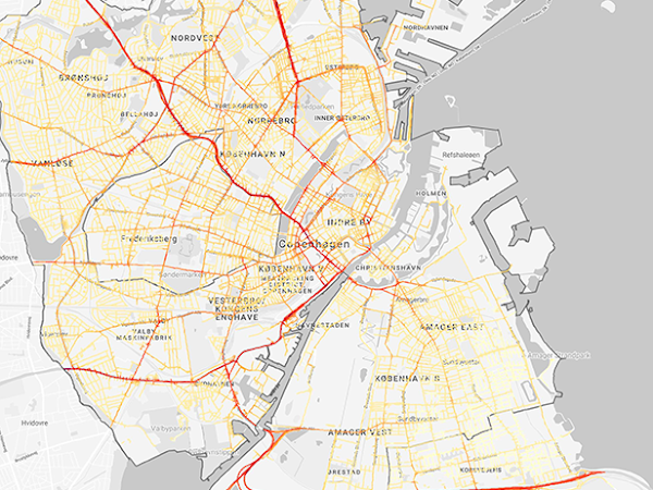
Mapping air quality to make the invisible visible
Project Air View is adding pollution sensors to Google Street View cars in cities like Hamburg and Copenhagen to measure street-by-street air quality and to support local, healthier decision-making.
Getty Images
Helping cities plant and plan for more trees
Tree Canopy is a new tool in EIE Labs that combines Artificial Intelligence and aerial imagery to help cities see their current tree canopy coverage and plan future planting, tree care, and community outreach projects.
FORESTS
Protecting, managing, and restoring forests and biodiversity
Google Earth Timelapse (Google, Landsat, Copernicus)
“Technology can play an important role in sparking a global restoration movement by giving groups and individuals the information they need to restore their local ecosystems.”
Brigitte Hoyer Gosselink, Director of Product Impact, Google.org
Forests absorb about one-third of the CO2 released by fossil fuels every year. Yet nearly half of the world’s forests have already disappeared to make way for cities and civilizations. Learn more about the nonprofits and developers we’re partnering with to support forest protection, restoration, and management to reverse this trajectory.
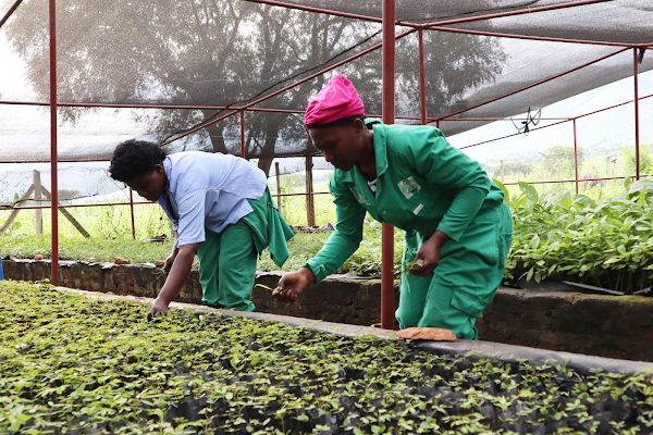
Fairventures Worldwide
Supporting the global restoration movement
Built on Google Earth Engine, Restor, a Google.org grantee, is an open data platform that allows anyone to analyze the restoration potential of any place on Earth.
Mapping and monitoring forests across the globe
Powered by Google Earth, Global Forest Watch is an Earth observation tool built by World Resources Institute to map and monitor forests across the globe.
OCEANS
Raising awareness to inspire positive change for our oceans
Google Earth Timelapse (Google, Landsat, Copernicus)
“By driving global transparency of human interactions at sea, new sustainable management tools are helping to advance conservation and restore a more abundant ocean.”
Brian Sullivan, Sr. Program Manager, Google Earth Outreach
Our oceans cover over 70% of the Earth’s surface and are crucial for balancing CO2 in our atmosphere. But with the Arctic warming twice as fast as the rest of the world, sea levels are rising faster than ever. View the solutions that are raising awareness and inspiring action for our seven seas.
Cristina Tarquini
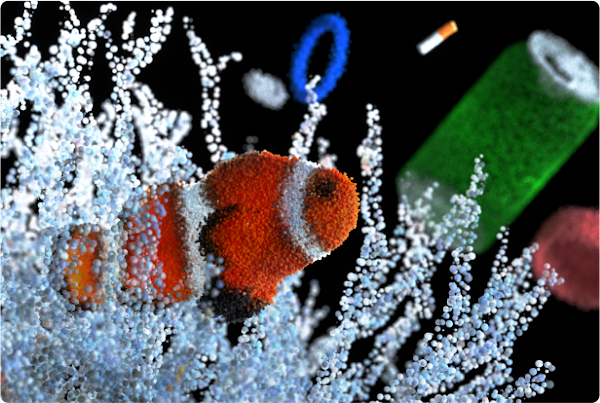
Educating people on the impact of ocean pH levels
Diving into an Acidifying Ocean, a data-driven immersive experience by artist Cristina Tarquini on Google Arts & Culture, shows us how ocean pH levels are changing in acidity and must be protected.

Getty Images
Bringing transparency to global fishing practices
Global Fishing Watch applies machine learning to vessel movements using Google Cloud Platform to bring public transparency to the creation and monitoring of new protected marine areas to help restore the oceans.
Helping everyone be more sustainable
We’ve been carbon neutral since 2007 and aim to be carbon free by 2030. We’re helping organizations around the world transition to more sustainable systems, and committed to helping 1 billion people lower their carbon footprint. From travel to home appliances, we’re making sustainability an easier choice.